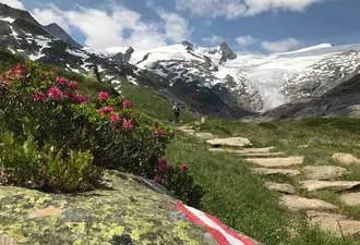
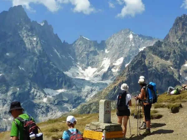
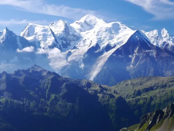
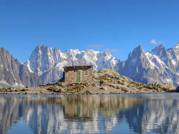
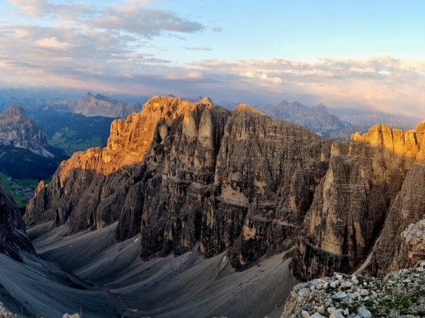
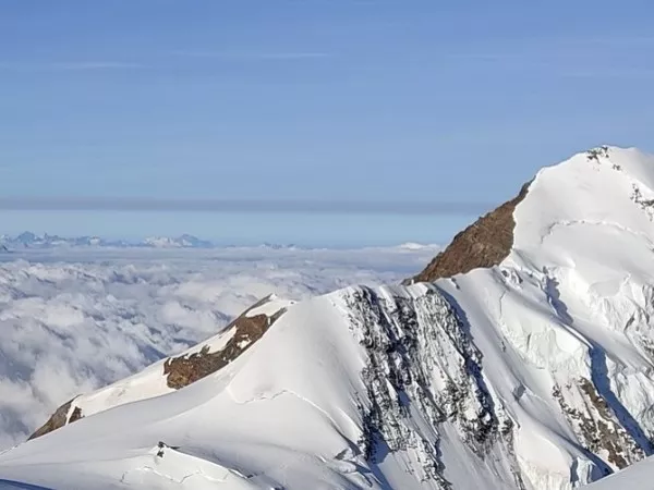
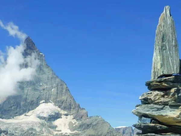
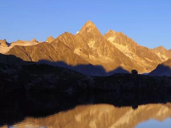
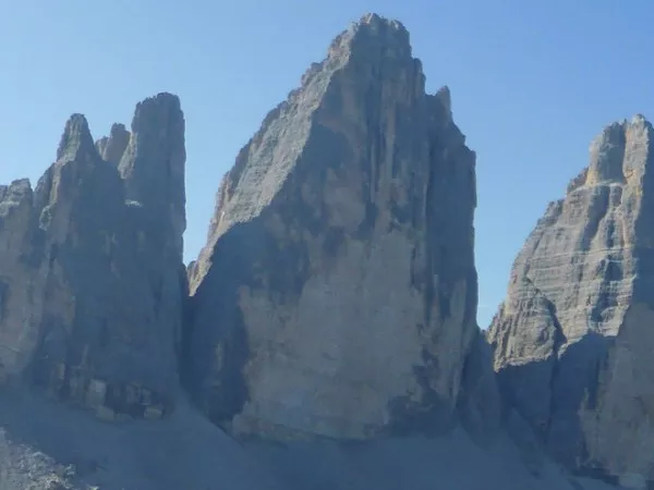
The Hohe Tauern, Austria’s first National Park, the largest protected area in Central Europe, is characterized by ancient forests, lush alpine pastures and steep, high-altitude landscapes. Each trek is a true Alpine safari where you can come across ibex, chamois, golden eagles, wild vultures or the amazing bearded vulture. From Matrei-in-Osttirol, in the heart of the Park, the route passes as close as possible to the glaciers and several peaks at more than 3000m, including the Grossvenediger and the Grossglockner which dominates Austria at 3798 m. It is on the Eagle Trail, a major trail that crosses Tyrol.
Departure from end of June to mid-september 2025
7-day tour in comfort accommodation (2/3-person bedroom) : €845 per person
7-day tour in classic accomodations (dormitory) : €745 per person
Extra day with night at Rostockerhütte : +€90 per person (€105 comfort option suject to availability)
Includes:
Does not include:
The tarif applies from the meeting to the end point.
MATREI IN OSTTIROL
Meeting point at the village of Tauern at the entrance to the valley. Check-in at the Tauernhaus inn for 2 nights in a room.
MATREIER TAUERNHAUS - TAUERN FELBERG LAKES
Départ pour une randonnée face au massif du Grossvenediger, versant Nord, le long de 3 lacs de couleurs différentes ! Traversée vers le refuge Poltener et descente sur Tauer.
Transfert 15 minutes approx. / 15km
SCHLATENKEES GLACIER- PRAGRÄTEN
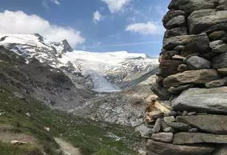
Hike in the Venediger valley, along the spectacular Schlatenkees glacier tongue, which flows from the summit of Grossvenediger (3657m). Return to the hostel for the night, in this beautiful Tyrolean valley.
Short transfer at the end of the day to Pragräten. Check-in for 2 nights in a hotel room.
6h walk / Elevation: +/- 700m
JOHANNISHÜTTE -VIRGENTAL VALLEY
After a short transfer, hike into the Virgentall valley. Take a taxi up to the Johannishutte hut at the foot of the Grossvenediger (€20 per person return) and discover the Turmljoch pass at an altitude of 2772m, at the foot of the wide glaciers descending from the Gossvenediger. Second night in a hotel in Prägraten.
5h walk / Elevation : +/- 650m via the col Turml
KALS AM GROSSGLOCKNER - BLAUSPITZE - LUCKNERHÜTTE
Drive to Kals Am Grossglockner. Ascent by gondola (€12/ person), then on foot to the ridges of the Blauspitze (2575m), with a breathtaking view over the Grossglockner (3770m). Going down to Kals and transfer to the Lucknerhaus valley (toll road, the climb can also be done by local bus). Installation for 2 nights (1h15 walk), without luggage.
15mn drive / 15km
4h30 walk / Elevation: +400m -1050m
LÜCKNERHÜTTE LOOP
Climb to the Glorerhutte hut, then to Salm hutte, overlooking the Grossglockner massif. Descent into the typical Luckner valley, a genuine Tyrolean postcard. Return to the refuge for the night. Another route is possible, going up in the Luckner valley to the Studhutte refuge, base camp for the ascent of the Grossglockner summit.
6h30 walk / Elevation : +/-1100m for Salmhutte
5h00 walk / Elevation : +/-880m for Studhutte
LÜCKNERHÜTTE - KALS AM GOSSGLOCKNER
End of your stay after breakfast at the Lücknerhütte hut.
Optional extra day in a refuge in Virgental
Night 3 in Matrei in Osttirol.
Day 4
VIRGENTAL - ESSENER ROSTOCKER HÜTTE
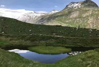
Morning transfer to Ströden. A steady climb up the Maurer valley to the Essener-Rostocker hut. On arrival at the hut, you can make an excursion to Lake Simony, 150m higher up, nestling in its crown of 3000m peaks (also possible the following day). Overnight in a hut at 2200m, without luggage.
4h walk / Elevation:+ 800m for the refuge / 7km
+1h30 walk / Elevation:+ /-160m / +3km with up and down walk to the lake
Day 5
COL TURML - PRAGRÄTEN
Depart the refuge for a high pass, the Turml at 2772m, which faces the wide glaciers descending from the south face of the Gossvenediger (3658m). After a rapid descent, we reach the historic Joannishhutte refuge, set in a wide valley. The descent continues on foot or by taxi into the valley. Overnight in a hotel in Prägraten.
3h30 walk / Elevation: + 350m – 760m / 9km
2h30 walk / Elevation: – 780m / 7km from Johannishütte to Interbichl
Resume the standard programme at the end of day 5.
Elevation : +/- 700 m on average per day.
Walking time: 4 to 6 hours on average per day.
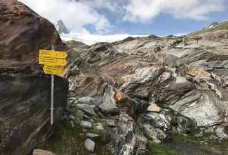
Itinerary: mountain path. Some more steep passages that are secured. More alpine variants are optional.
The route in general is well indicated, and the Roadbook provided sufficiently complete to allow you to hike in complete safety. However, it is essential to be able to read an 1:25,000 map and to be sufficiently autonomous in the mountains to be able to tackle the itinerary with confidence, whatever the weather (fog, snow, etc.). Guiding is not included in the self-guided package. snow and névés will be present on the paths until end of june at least. You may walk on long snowy sections that can make the tour a bit more challenging. High mountain boots, gaiters and walking poles are mandatory. Be prepared! You will be crossing areas with no telephone network. For your own safety, you may wish to bring along a radio or the latest generation telephone with satellite connection.
You will need a good fitness level and must have a good health for this trek. A physical preparation will help you to enjoy your stay: please regularly practice a cardio sport such as hiking, running, biking, swimming.
Please find the description of the levels by clicking here: levels of difficulty
Classic option: 4 nights in a 4 to 9 person dormitory, 2 nights in a hotel in a 2 to 4 person room.
Comfort option: 6 nights in a room, based on 2/3 people (depending on the size of the group).
Single room in option, depending on availability.
Breakfasts and dinners are served in the accommodation, except the last night, free dinner in the city. For lunch, picnics are not taken and can be booked the day before in the accommodation.
Please inform us about your food allergies and special diets at the time of booking.
We do our best to accommodate special diets (gluten-free, vegetarian, etc.). However, we encourage you to bring some additional products for your own picnics.
Map 1/25000 Venedigergruppe n°36
Map 1/25000 Granatspitzgruppe n°39
Start of the walk in the village of Matrei in Osttirol, around 3 hours' drive from Innsbrück.
BY TRAINThe most environmentally friendly: approximately 8.5 hours by train, about €100 per journey
Train from Paris >> Innsbruck
Depart Paris gare de l'Est at 6.54am >> arrive Innsbruck at 3.18pm
Car hire in Innsbruck, to be requested on registration (from €260 per week for a saloon car).
Return: 10:40 Innsbruck >> 18:05 Paris
Timetables and fares to be checked on https://www.oui.sncf/
BY PLANE
Lufthansa offers flights from Paris CDG >> Innsbruck with stopover in Frankfurt.
BY CAR
Paris - Matrei in Osttirol, 1040km and 10-hour ride to Strasbourg, Stuttgart, Munich and Kitzbuhel.
End of your trip in Kals am Grossglockner.
Consult the websites of the Matrei-in-Osttirol or Innsbruck Tourist Office.
In accordance with regulations, we are covered by Professional Liability Insurance. Under no circumstances, we can replace your personal civil liability.
The repatriation insurance EUROP ASSISTANCE that we offer is dedicated to French speaking people living in Europe. If it is not your case, we advise you to subscribe to another travel insurance which will cover you in case of injury and repatriation during your trek.
If you chose to take out repatriation insurance with EUROP ASSISTANCE whom we propose, Altitude Mont Blanc will only serve as an intermediary between the client and the insurer. We cannot influence either party. We adhere to strict conditions of sale. You are responsible for compliance with the reporting procedures of any incident.
Before making any decision, contact EUROP ASSISTANCE.
+33 (0)4 50 79 09 16 or +33 (0)6 42 49 76 07
Clothing
Other Equipment
Bring a comfortable backpack of 30 to 40 litres for your personal belongings for the day (warm clothes, waterproofs, water, plate and cutlery for your picnic, sunscreen and your identity papers) and please keep a little room to carry a picnic and snacks.