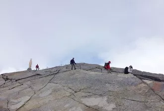
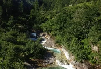
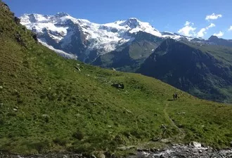
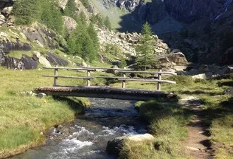
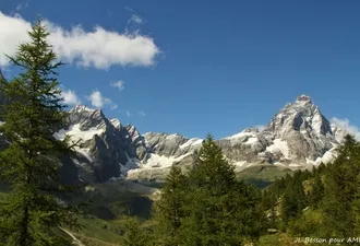
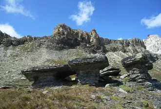
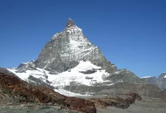
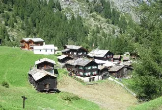
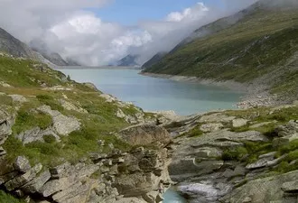
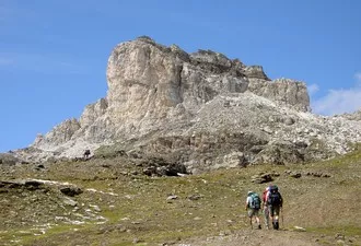
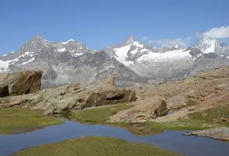
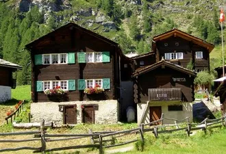
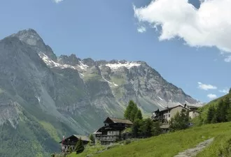
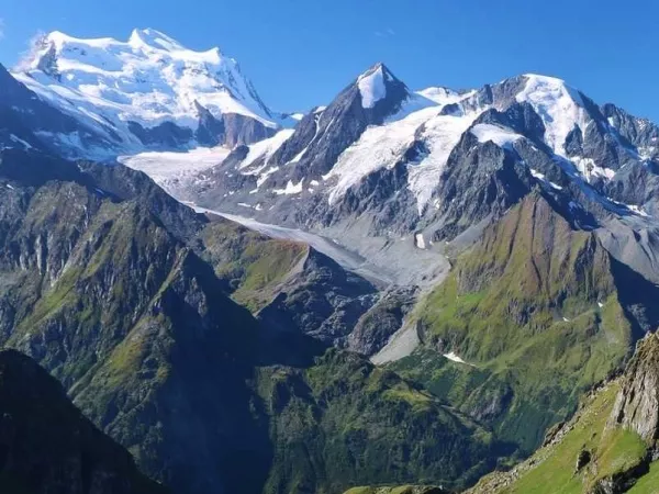
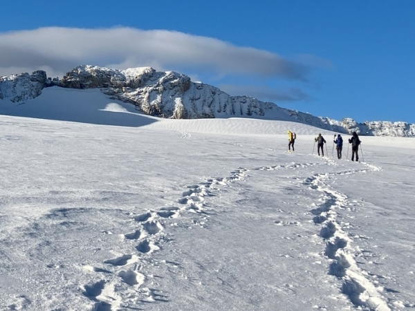
Located deep in the Zermatt valley, the Monte Rosa is named after the Italian Valdotain dialect “roese” meaning “ice”. From its summit at 4634m, run gigantic glaciers, creating an incredible landscape. High altitude valleys lead to the foot of this giant which still bear the marks of the Walser, the nomadic ancestors of the Valaisan population. After several days trek, punctuated by high mountain passes, we head into the ice world with the ascent of thePointe Gnifetti at 4554m, a beautiful and relatively easy summit, the defining highlight of this tour.
Next departure on 06/07/25
From 1840 €
Book onlineDates | Status | Prices | |
---|---|---|---|
From 06/07/25 To 12/07/25 |
Open departure | 1840 € | Book online |
From 13/07/25 To 19/07/25 |
Guaranteed departure | 1840 € | Book online |
From 20/07/25 To 26/07/25 |
Guaranteed departure | 1840 € | Book online |
From 27/07/25 To 02/08/25 |
Guaranteed departure | 1840 € | Book online |
From 03/08/25 To 09/08/25 |
Open departure | 1840 € | Book online |
From 10/08/25 To 16/08/25 |
Open departure | 1840 € | Book online |
From 17/08/25 To 23/08/25 |
Guaranteed departure | 1840 € | Book online |
From 24/08/25 To 30/08/25 |
Open departure | 1840 € | Book online |
From 31/08/25 To 06/09/25 |
Open departure | 1840 € | Book online |
Ascent of Pointe Gnifetti included in the price.
The price includes:
The price does not include:
The price is all inclusive from departure to end point.
Personalised tour available
Contact us !Meeting at 9am at the Stalden VS (Switzerland) cable car parking.
STALDEN - SAAS GRÜND
Cable car ascent to Gspon, then balcony crossing towards Hannig and descent to Saastal. Overnight in a hotel.
5.5 hours walk / Elevation: +500m -850m / 15km
SAAS GRUND - MONTE MORO PASS - MACUGNAGA
Bus transfer to the Mattmark dam. Climb to the historic mountain pass Monte Moro (2868m) along the east face of the Monte Rosa. Descent to Macugnaga under the huge south face of this giant. Night in a refuge.
6.5 hour walk / Elevation: +800m -1370m / 14km
TURLO PASS - ALAGNA
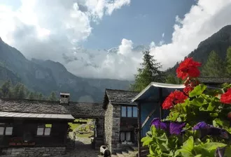
The route heads towards the lush green valley of Alagna along the Walser Trail. Cross the Col de Turlo (2783m) and descend to the Pastore refuge with its small botanical garden. Night in the refuge under the imposing ice giant.
8 hour walk / Elevation: +1500m -1200m / 18km
ALAGNA - REFUGE GNIFETTI
From the Pastore refuge, climb up the Vallon de Sesia and the Vallon delle Pisse to reach the Corno lake and the Bocch delle Pisse, first on foot and then by cable car. Meeting with the high mountain guides. Transfer by gondola to the bottom of the Indren glacier. Easy crossing of the glacier to reach the Gnifetti refuge at 3610m.
Night in the refuge.
5.5 hour walk / Elevation: +1250m -400m / 11km
POINTE GNIFETTI (4554m) – VAL DE GRESSONNEY
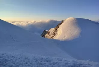
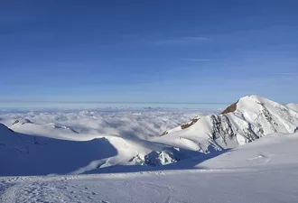
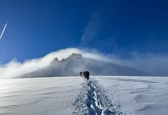
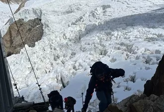
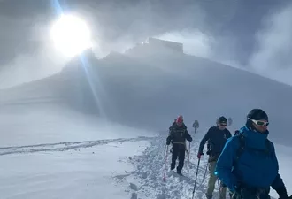
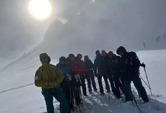
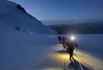
Early wake-up call. After getting equipped, departure with the high mountain guides for a long glacier walk, first at the foot of the Vincent Pyramid and then facing the Pointe Dufour (highest point in Switzerland at 4634m). A final, slightly steep slope leads to the summit of the Pointe Gnifetti (4554m), on which stands the Cabane Margherita, the highest refuge in Europe. Back to the Gnifetti refuge and descent into the Indren valley and then by ski lift to Staffal. Return by cable car to the Sitten promontory. Night in refuge.
6 to 7 hour walk / Elevation: +1250m - 1400 m / 14km
COL RHOTORN – VAL D’AYAS
Ascent to the Col Rhotorn (2689 m), under the eye of the Castor and the Pollux! Descent into the Val d'Ayas, one of the jewels of the Val d'Aosta. The day ends on the Trail of the Walsers, crossing over to Saint-Jacques. Night in a refuge.
4.5 hours walk / Elevation: +520m -980m / 10km
SAINT JACQUES - KLEIN MATTERHORN - ZERMATT
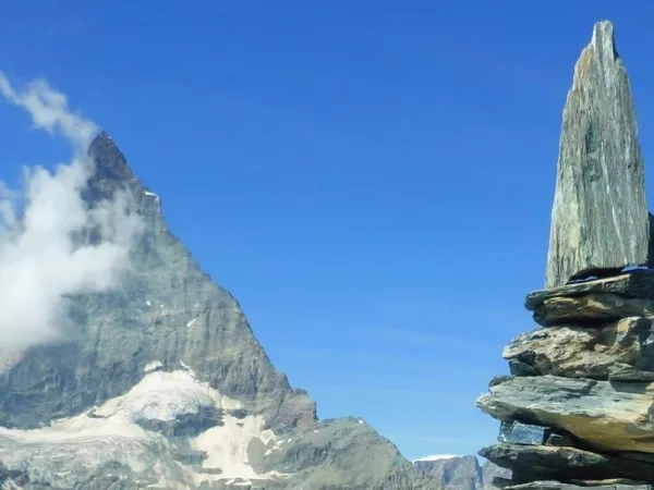
One last day to link the Val d'Ayas and the imposing Matterhorn! The route continues along the valley floor to reach the Col delle Cime Bianche at 2982m and then the slopes of Cervinia. The rest of the journey is made on the Matterhorn Paradise ski lifts. A majestic traverse between the legendary peaks of Monte Rosa and the Matterhorn, with a final stop at Klein Matterhorn, at 3883m!
5.30hour walk / Elevation: +1200 m -400 m / 12km
End of the tour Saturday around 5pm in Zermatt.
The programme has been prepared on the basis of the latest information available at the time of writing; unforeseen circumstances are always possible and situations beyond our control may alter the programme.
Elevation: +/-500 to 1700m on average per day.
Walking time: 6 to 8 hours on average per day.
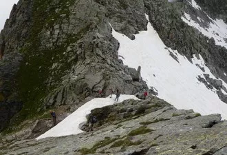
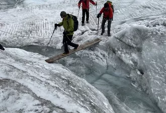
Type of trek: mountain route on steep, stony paths. Snow and névés will be present on the paths until end of june at least. You may walk on long snowy sections that can make the tour a bit more challenging. High mountain boots, gaiters and walking poles are mandatory. Be prepared!
The proposed mountaineering route is one of the glacier summits at an altitude of over 4000m, which presents no technical difficulty apart from the altitude. The first few days, crossing cols at around 3,000m, will allow you to acclimatise well and ensure that you are in good shape for this ascent.
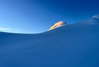
Pointe Gnifetti is an ideal summit for reaching and surpassing the mythical 4000m mark. It lies at the heart of the Mont Rose massif and its ascent, which takes place in a grandiose setting, takes you up to 4554m, the fourth highest summit in Switzerland. This ascent is included in the package.
You'll need to be well-prepared physically if you want to enjoy these beautiful "high mountain" stages.
Practise an endurance sport regularly, such as walking, running or cycling, for 6 to 8 hours a week.
Your physical preparation will make your trip easier and help you enjoy it even more!
Please find the description of the levels by clicking here: Level of difficulty
Group from 6 to 12 people supervised by a qualified mountain leader.
High Mountain guide for the ascent of Pointe Gnifetti: 1 guide for 5 people maximum.
The mountain guide leader may have to modify the programme to adapt it to the level of the participants and/or the natural conditions. As a last resort, he is the sole decision-maker.
It is usual to tip your guide at the end of the trek, according to your satisfaction. It is not mandatory but it is very appreciated.
5 nights in mountain refuges or gite, in dormitory.
1 night in gite, in multiple bedrooms.
Hot showers are available in all accommodations. However, due to increasingly frequent periods of drought, shower facilities are not guaranteed.
Breakfast and dinner are provided in each accommodation. Picnics will also be ordered in each accomodation.
Please specify any allergies or dietary requirements at the time of booking.
We do our best to accommodate special diets (gluten-free, vegetarian, etc.). However, we encourage you to bring some additional products for your own picnics.
Swiss maps: 1/5000: VISP 274, MISCHABEL 284, GRESSONEY 294
Italian maps: 1/25000 108 et109
Meeting point at 9am at the cable car parking in Stalden.
BY TRAIN
Access: Gare de Lyon (Paris) - Stalden.
Return : depart from Zermatt, arrive in (Paris) Gare de Lyon in the evening.
Timetables must be checked on www.oui.sncf and www.cff.ch
BY CAR
Take the motorway from Geneva direction Lausanne, Martigny and Sierre then follow signs for Zermatt (you can purchase the Swiss motorway tax online Vignette Shop )
Meet at the cable car in Stalden next to the train station in the village centre.
You can leave your car in the large underground or the outdoor car park at payment near the Stalden station (pick up your ticket at the SBB station): parking Parkhallen Saint-Michel 10CH / day or alternatively All Stalden car parks
End of the tour on Saturday at 5pm in Zermatt.
The guide can organise, for those who wish, a group transport to your vehicle at the Stalden cable car (approx. €20-€25 per person).
Stalden
Hôtel Hohlgassli: +41 (0)2 79 52 15 12
Hôtel Killerhof: +41 (0)2 79 52 13 38
Zermatt Tourist Office: +41 (0)2 79 66 81 00
If you are late please contact the agency as soon as possible: +33 (0)4 50 79 09 16 or +33 (0)6 42 49 76 07
Clothing
Other Equipment
Bring a comfortable backpack of 40 to 50 litres for your personal belongings for the week and think to keep a little room to carry a picnic and snacks.
Leave on your own for 2 or 3 days or more
In the "weight is the enemy" feature, we give you some tips on how to save a few hundred grams. For example, for your toiletries: a simple plastic zip bag or a small plastic box to avoid accidental compression.
Pharmacy: in addition to your personal medicines, bring :
Now all you have to do is to apply this recipe to your entire bag!
Equipment for the ascent of the Pointe Gnifetti is included in your package (crampons, harness, helmet and ice axe).
An ascent to an altitude of 4000m requires warm equipment in case of inclemet weather (thermal leggings, hat, waterproof gloves, down jacket + goretex waterproof, hiking trousers or at best mountaineering trousers). Don't forget a headlamp. High rising walking boots with a good rigid sole are mandatory. Poles are essential.
Access to your main luggage (equipment for the ascent):
You will only have access to your main luggage on day 3 and day 5.
Thank you for your message. We will reply as soon as possible...