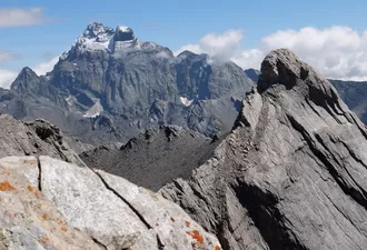
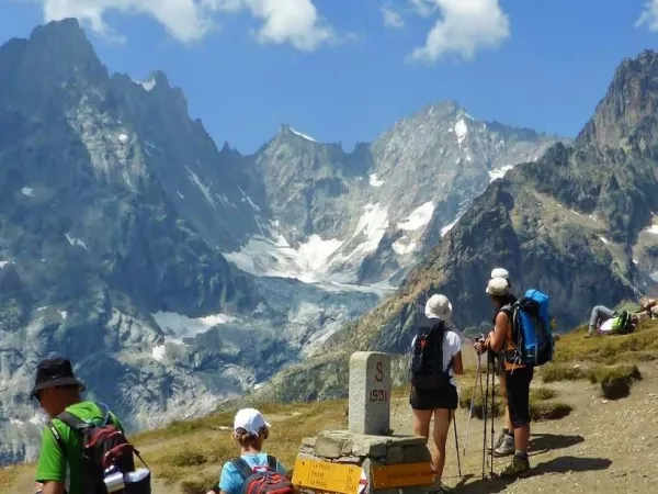
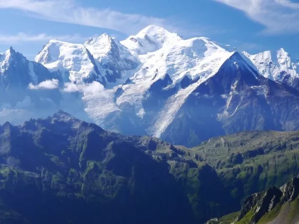
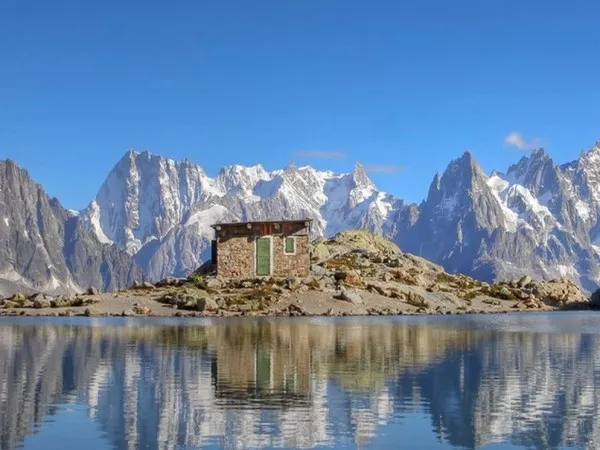
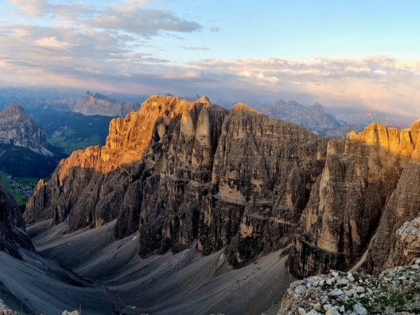
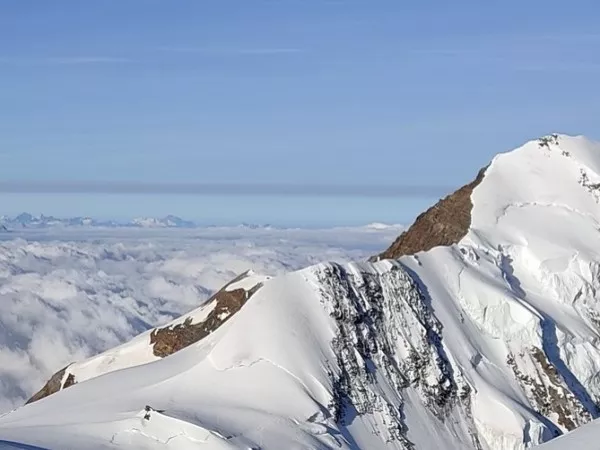
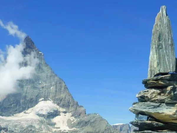
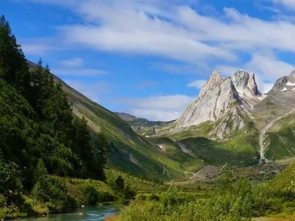
Sometimes called little Switzerland, the Queyras region is known above all for its high villages, its larch forests and its wide mountain pastures. On the edge of the Italian border, this massif benefits from the coolness of the mountains and the blue sky of the Southern Alps. There are more than 300 days of sunshine per year! On the border, the imposing Mount Viso (3841 m), the 2nd Italian summit, rises.
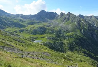
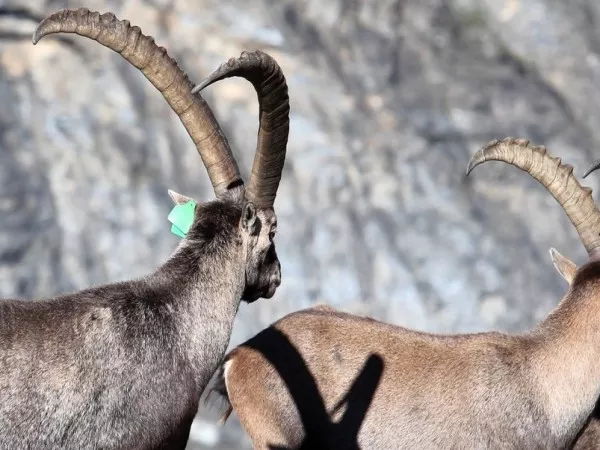
Here nature is wild and preserved by the Regional Natural Park: numerous high altitude lakes, rare floral species, abundant mountain fauna (hares, marmots, chamois, eagles and even wolves...). Organise your week as you see fit! That's what this tour is all about: every morning, you'll head out on a range of hikes for which we'll give you all the technical information and explanations you need. Departing from our comfortable hotel, you'll have a choice of hikes of all levels to the summits, lakes and unmissable panoramas of the Queyras.
Elective departure from 20th May to 30th October 2025
6 day/ 5 night tour
€550 per person in a 2 bedroom cottage
€690 per person in a 2-room hotel
5 day/4 night tour
€460 per person in a 2-room gite
€580 per person in hotel room of 2
Optional extras
5 picnics: €70 per person
4 picnics: €60 per person
Additional nights
Additional night in half board in room to share: €68 per person
Extra night in half board in hotel: €104 per person
Includes:
Does not include:
The price applies from the meeting point to the dispersal point.
CROIX DE CURLET
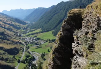
Curlet Ridge from the Pont du Moulin: a real promontory with a great view of Saint-Véran. A nice first day to get into ham, climb in the forest under the larches, possibility on the ridge to climb to the peak of Cascavelier.
Night in hotel or gite.
4h00 hours walk / Altitude difference : +/- 580 m
MOLINES - SOMMET BUCHER - LA CHALP DE SAINT-VERAN
The Bucher offers one of the most beautiful panoramas on the west of Queyras. This crossing between Molines and Saint Véran, will also be done largely under the larches... before ending on the Col des Près Fromage where a magnificent alapge opens to you... the picnic break is necessary! The orientation table of the Bucher Summit will be the occasion of a small digestive walk before going down to the site of Saint Simon, its chapel and its small lake. Transfer from your hike at the end of the day (or start if you prefer!). Night in hotel or gite.
5h30 hours walk / Altitude difference : +625 m ; -580 m
COL AGNEL - LA VALLÉE DES LACS - L'ECHALP
This day will be devoted to exploring the unmissable ‘Valley of the Lakes’, which will take you from high altitudes to pastoral landscapes via an ever-changing trail with the valley's marvellous glacial lakes. An absolute must. Night in hotel or gite.
5 hours walk / Altitude difference : +250 m ; -1200 m
L'ECHALP - COL LACROIX
This is a lovely, easy hike to the Italian border along an old road that was a legendary trade route between France and Italy. In spring, you can make this ascent in the middle of rhododendrons, and you may also come across a few juniper plants as you move away from the pass.
Night in gite or hotel.
4.5 hours walk / Altitude difference : +/- 710 m
ARVIEUX - FURFANDE
After a short crossing through the pines and larches of Queyras, the landscape opens onto the Furfande pasture topped by the needles of Croseras. It is possible to push even higher to enjoy a clear view of the Ecrins.
Night in hotel or gite.
5.5 hours walk / Altitude difference : +/-630 m
SAINTE-ANNE LAKE AND MIROIR LAKE
Classic in the Queyras, but you never get tired of it... Lakes Sainte-Anne and Miroir, both opposite, one mineral, nestled at the foot of the Font Sancte and the other bordered by its lawns and pines. The strongest will be able to discover a more intimate lake, that of the Rouites.
End of the stay in Saint Véran.
5 hours walk / Altitude difference: +/- 770 m
These are just a few examples of the walks that can be done from Saint-Véran; in your roadbook, we'll give you other itineraries that can be adapted to suit the weather and your fitness level.
We may sometimes have to modify the itinerary indicated for organisational reasons (overcrowding of accommodation, changes in the state of the terrain, landslides, damaged paths, etc.), or due to weather conditions. These changes are always made in your interest, for your safety and for your comfort!
Average positive altitude difference: 500 m per day
Average duration of the stages: 5 hours per day
Particular difficulties: hiking on good marked mountain trails, forest paths and old canals.
This trip requires you to be in good general shape. To prepare, we recommend regular walking, jogging, cycling or another sport. Your physical preparation will make your stay easier and help you enjoy it all the more.
Please find the description of the levels by clicking here: levels of difficulty
This trip was made in collaboration with our local partners, who like us are committed to creating an authentic stay for you.
Your road book will be sent to you by post on receipt of payment of the balance of your stay. It includes :
- A route book,
- A set of IGN maps,
- A itinerary sheet with a list of accommodation,
- Luggage tags, if you have booked the option luggage transfer
- Access to the digital application downloadable onto your smartphone
For all bookings made less than 3 weeks before departure, paper travel documents cannot be sent. Only the digital version will be made available.
GITE COMFORT: double room or room with 2 beds of your choice, bed linen and towels are not provided, bathroom facilities are on the landing.
HOTEL COMFORT: double or 2-bedded room of your choice, bed linen and towels provided, private bathroom.
Breakfasts and dinners are provided in each accommodation. Picnics are not included and can be ordered the day before in each accommodation. Possibility to refuel in small local shops. Please inform us about your food allergies and special diets at the time of booking. We do our best to accommodate special diets (gluten-free, vegetarian, etc.). However, we encourage you to bring some additional products for your own picnics.
Transfers are made with your personal vehicle.
Your own vehicle is essential for transfers to the start of the hikes.
BY TRAIN
Go (the day before): Paris Montdauphin-Guillestre, via Valence, then bus from Guillestre to Abriès (shuttle 573 ZOU hours on Autocas Imbert)
Back: Bus from Abriès - Guillestre (shuttle 573 ZOU timetables on Autocas Imbert), then train from Guillestre to Paris or night train from Guillestre to Paris.
Timetables must be checked with the SNCF by telephone (special number 3635) or on: oui.sncf / lequeyras.com/navettes-queyras-guillestrois
BY CAR
Saint-Véran is approximately 35 km from Guillestre.
Parking not guarded, close to hotels.
End of the stay in early afternoon in Saint Véran.
If you are late please let us know as soon as possible : +33 (0)4 50 79 09 16 or +33 (0)6 42 49 76 07
Clothing
Other Equipment
BACKPACK
Bring a comfortable backpack of 30 to 40 litres for your personal belongings for the day (warm clothes, waterproofs, water, plate and cutlery for your picnic, sunscreen and your identity papers) and please keep a little room to carry a picnic and snacks.