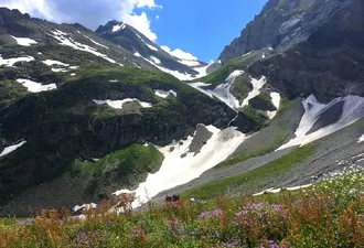
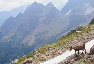
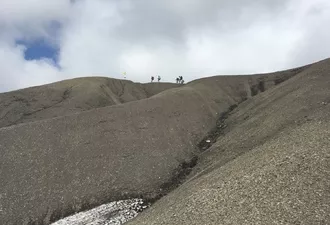
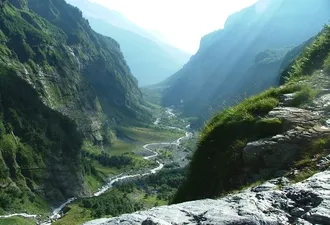
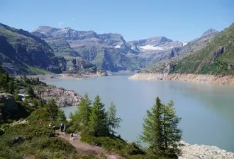
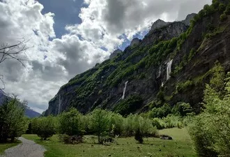
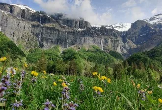
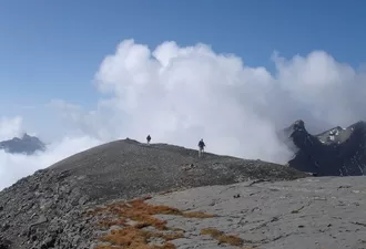
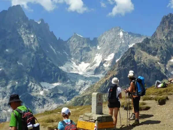
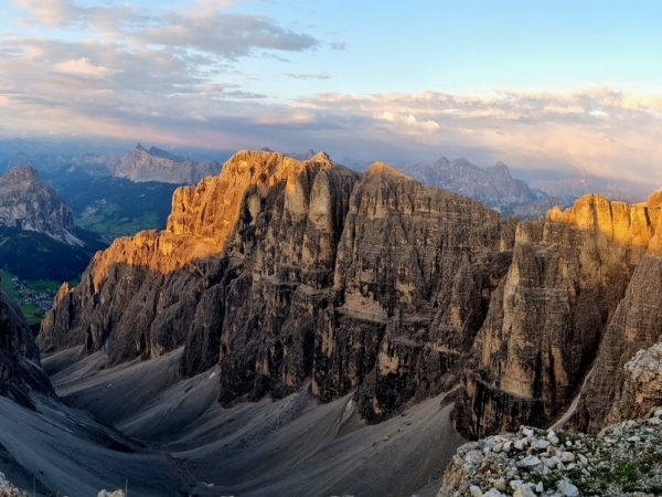
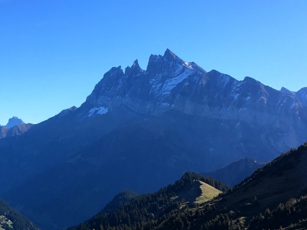
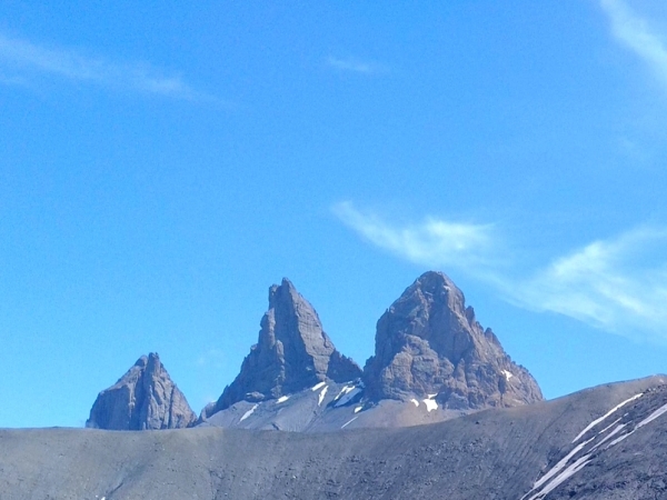
Between Mont Blanc and Lake Geneva, on the border between France and Switzerland, lies a group of mountain ranges that have remained hidden from the rest of the world: Dents Blanches, Dents du Midi, Tenneverge, Mont Ruan. This is an area strongly shaped by the folding of the Alps, with surprising landscapes ranging from lunar deserts to high-altitude lakes, waterfalls and forgotten mountain pastures. Here, there is no human pressure, just a wild, unspoilt nature that only hikers can discover. Leaving from one of the largest natural cirques in the Alps, leave civilisation behind for a perfect 6-day loop of spectacular mountain hiking, passing through some of the most isolated refuges in the world, for a complete break from the world.
Departure from the 1st of July to the 7 of September 2025
Without luggage transfer
535€ par personne
Comfort option (3 nights in a 2 to 3-person bedroom) : +90€/ person, depending on availability.
Option luggage transfer (day 4 only) for a resupply mid-journey : please contact us.
The price includes:
The price does not include:
The price is all inclusive from departure to end point.
Departure from the 'Bout du Monde' parking in Sixt-Fer-à-Cheval.
CIRQUE DU FER À CHEVAL - REFUGE DE GRENAIRON
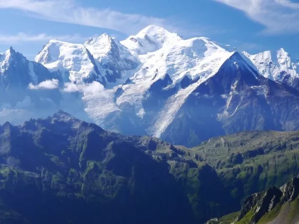
Departure facing one of the largest natural cirques in the Alps. Climb through the woods to reach the slopes of the 'Montagne de la Commune', overlooking the Sixt Fer à Cheval valley. Cross between meadows and forests to the Grenairon refuge and its unique panorama of the Fys, Buet and Mont Blanc massifs.
6 hour walk / Elevation: +1350m ; -350m
FRÊTES DU GRENIER - LE CHEVAL BLANC - BARRAGE DU VIEUX ÉMOSSON
From the refuge, departure for a memorable traverse through the impressive rocky chaos of the 'Frêtes du Grenier' to the 'Plan du Buet' plateau, at the foot of the famous 'Mont Blanc des Dames'. We then head for the Swiss border, climbing Cheval Blanc (2830m) before descending into the Émosson valley. A short geology stop near the famous dinosaur footprints frozen in the rock, before reaching the Vieux Émosson dam and the refuge.
5.5 hour walk / Elevation: +900m -700m
COL DE BARBERINE - COL D'EMANEY - BARRAGE DE SALANFE
Descent to the Emosson dam. After passing through a tunnel, the path skirts the lake and climbs to the Barberine pass (2481m). Descend into the valley, then climb again to Emaney pass (2462m). High-mountain atmosphere, below Ruan and Tour Salière (3220m). Descent to the Salanfe reservoir, sitting between two geological layers. Night in a lakeside refuge.
7 hour walk / Elevation: +1050m -1350m
COL DE SUSANFE - PAS D'ENCEL - VALLON DE BARMAZ
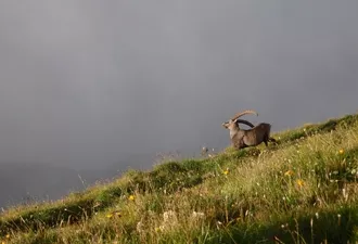
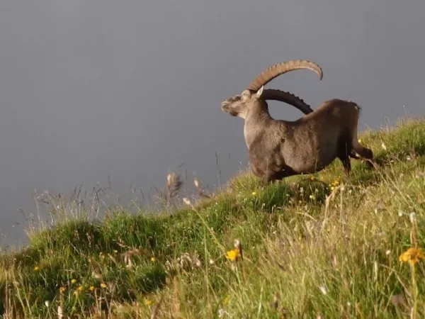
Ascent to the pass (2494m) via a cabled path on some sections, dominated by the Haute-Cime (3200m). Descent into the wild cirque of Susanfe, beneath the Ruan glacier. The 'Pas d'Encel' and a few cabled sections lead out of the valley, before getting back to the mountain pastures. Keep an eye on the large Bonavau combes, where herds of chamois can often be seen! Night in a refuge in the authentic alpine village of Barme.
6 hour walk / Elevation: +800 -1250m
PAS DE LA BIDE - PAS AU TAUREAU - REFUGE DE FOLLY
A spectacular day featuring two famous passes. From the Barmaz alpine pasture, climb up to the cliffs via the 'Pas de la Bide', once a secret passage for the most intrepid smugglers. After crossing the border again at 'Col de Bostan', climb up to the mineral world of 'Pas au Taureau', a narrow opening onto the shoulder of the Dents Blanches massif. Descend through the 'Combe aux Puaires' to the Folly refuge overlooking the valley.
6.5 hour walk / Elevation: +1050 -1000m
VALLON DES CHAMBRES - CIRQUE DU BOUT DU MONDE
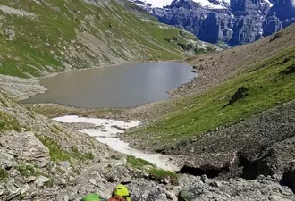
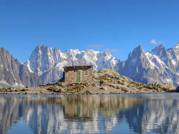
The last day begins with a steep ascent to the wild 'Vallon des Chambres' and its glacial lake. From the 'Col des Chambres' (2538m), a final long descent to the Vogealle refuge and the balconies of the cirque 'du Bout du monde'. Back to civilization on an easy trail to the 'Cirque du Fer à Cheval'.
7.5 hour walk / Elevation: +1200m -1450m
The program has been prepared according to the latest information available at the time of writing; imponderables are always possible and situations beyond our control may alter the course of the program.
Elevation: around +/- 1100m per day
Walking time: 6 to 7 hours per day
Type of trek: this tour passes via rocky terrain with a few technically difficult cabled sections. This stay is designed for people who already have previous experience of mountain hiking, capable of handling technical passages and able to read IGN maps at 1/25,000.
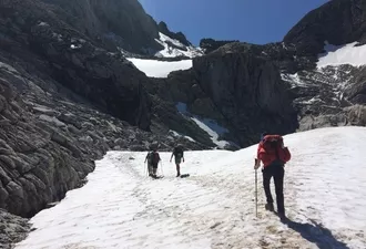
The route in general is well indicated, and the Roadbook provided sufficiently complete to allow you to hike in complete safety. However, it is essential to be able to read an 1:25,000 map and to be sufficiently autonomous in the mountains to be able to tackle the itinerary with confidence, whatever the weather (fog, snow, etc.). Guiding is not included in the self-guided package. snow and névés will be present on the paths until end of june at least. You may walk on long snowy sections that can make the tour a bit more challenging. High mountain boots, gaiters and walking poles are mandatory. Be prepared! You will be crossing areas with no telephone network. For your own safety, you may wish to bring along a radio or the latest generation telephone with satellite connection.
You need a good endurance level and a mental capacity for long-term efforts. An experience in hiking is required. Please practice a cardio sport such as hiking, running, cycling, from 6 to 8 hours a week. Your physical preparation will enable you to enjoy your trek to the maximum.
Please find the description of the levels by clicking here: levels of difficulty
Before departure, we will give you a travel pack including :
- 2 IGN TOP 25 maps with the route
- 1 road-book with all the necessary information for the hike
- 1 map holder
- The list of accommodation
On request, we will also provide you the GPX tracks.
5 nights in dormitory, in refuge.
Breakfast and dinner are provided in each accommodation. Picnics are not included and can be ordered at every refuge by asking the night before. Please inform us about your food allergies and special diets at the time of booking. We do our best to accommodate special diets (gluten-free, vegetarian, etc.). However, we encourage you to bring some additional products for your own picnics.
IGN Top 25 - 3530 ET - SAMOENS and Top 25 - 3630 OT - CHAMONIX (1/25 000)
MPA (yellow) Trient valley (1/25 000)
Meet Sunday at 10am at the 'Bout du Monde' parking in Sixt-Fer-à-Cheval.
BY TRAIN
Cluses SNCF train station voyages-sncf.com
then with the Bus Y94 to Sixt-Fer-à-Cheval
BY CAR
Take the A40 motorway to Cluses, then direction Taninges, follow signs to Samoens and continue to Sixt-Fer-à-Cheval.
Parking for the week (around 5€)
CAR-SHARING
Get in touch with people ! blablacar.fr, laroueverte.com, roulezmalin.com
End point in the afternoon, at the parking.
Samoens Tourist Office: +33 (0)4 50 34 40 28 / www.samoens.com
Sixt Tourist Office: +33 (0)4 50 34 49 36 / www.chamonix.com
If you are late please contact the agency as soon as possible on: +33 (0)4 50 79 09 16 or +33 (0)6 42 49 76 07
Clothing
Other Equipment
Bring a comfortable backpack of 40 to 50 litres for your personal belongings for the week (including warm clothes, waterproofs, water, plate and cutlery for your picnic, sunscreen and your identity papers) and please keep a little room to carry a picnic and snacks.